|
|
|
|
|
|
 |
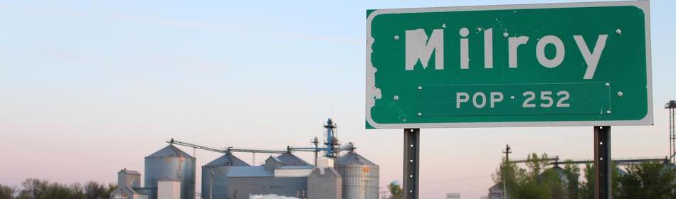
County Forecast for Milroy , MN |
|
|
| | 022100-
Redwood-
Including the city of Redwood Falls
813 AM CDT Thu Jul 2 2026
Rest of today Mostly sunny. Patchy fog early in the morning. Highs in the upper 80s. South winds up to 10 mph.
Tonight Partly cloudy with chance of thunderstorms in the evening, then mostly cloudy with showers likely and chance of thunderstorms after midnight. Some thunderstorms may produce heavy rainfall. Lows in the upper 60s. Southeast winds 5 to 10 mph shifting to the northwest after midnight. Chance of precipitation 70 percent.
Friday Partly sunny. Chance of showers in the morning. Highs in the mid 80s. Southeast winds 5 to 10 mph. Chance of showers 50 percent.
Friday night Showers likely and chance of thunderstorms in the evening, then showers and chance of thunderstorms after midnight. Lows in the upper 60s. East winds 5 to 10 mph. Chance of precipitation 90 percent.
Independence day Partly sunny. Chance of showers in the morning. Highs in the lower 80s. Northwest winds 5 to 10 mph. Chance of showers 50 percent.
Saturday night Partly cloudy with chance of showers in the evening, then mostly cloudy after midnight. Lows in the mid 60s. Chance of showers 30 percent.
Sunday Mostly sunny. Highs in the mid 80s.
Sunday night Mostly clear. Lows in the mid 60s.
Monday Mostly sunny. Highs in the upper 80s.
Monday night Partly cloudy. Lows in the upper 60s.
Tuesday Mostly sunny. Highs in the upper 80s.
Tuesday night Partly cloudy. Lows in the mid 60s.
Wednesday Mostly sunny. Highs in the upper 80s. |
|
|
|
Click here to get your local weather emailed to you each day.
|
|